Satellite Imagery for
Modern Agriculture

At Agrotics, we harness the power of satellite imagery to develop modern farming.

By leveraging Agrotics‘ satellite imagery technology, you can enhance decision-making, reduce costs, increase yields, and promote sustainability.
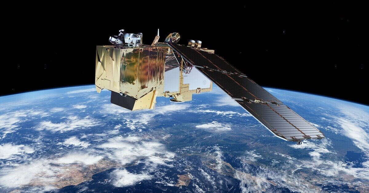
Satellite imagery showcasing modern agriculture

Precision Agriculture

Easy to Use

Cost Effective

Satellite Imagery
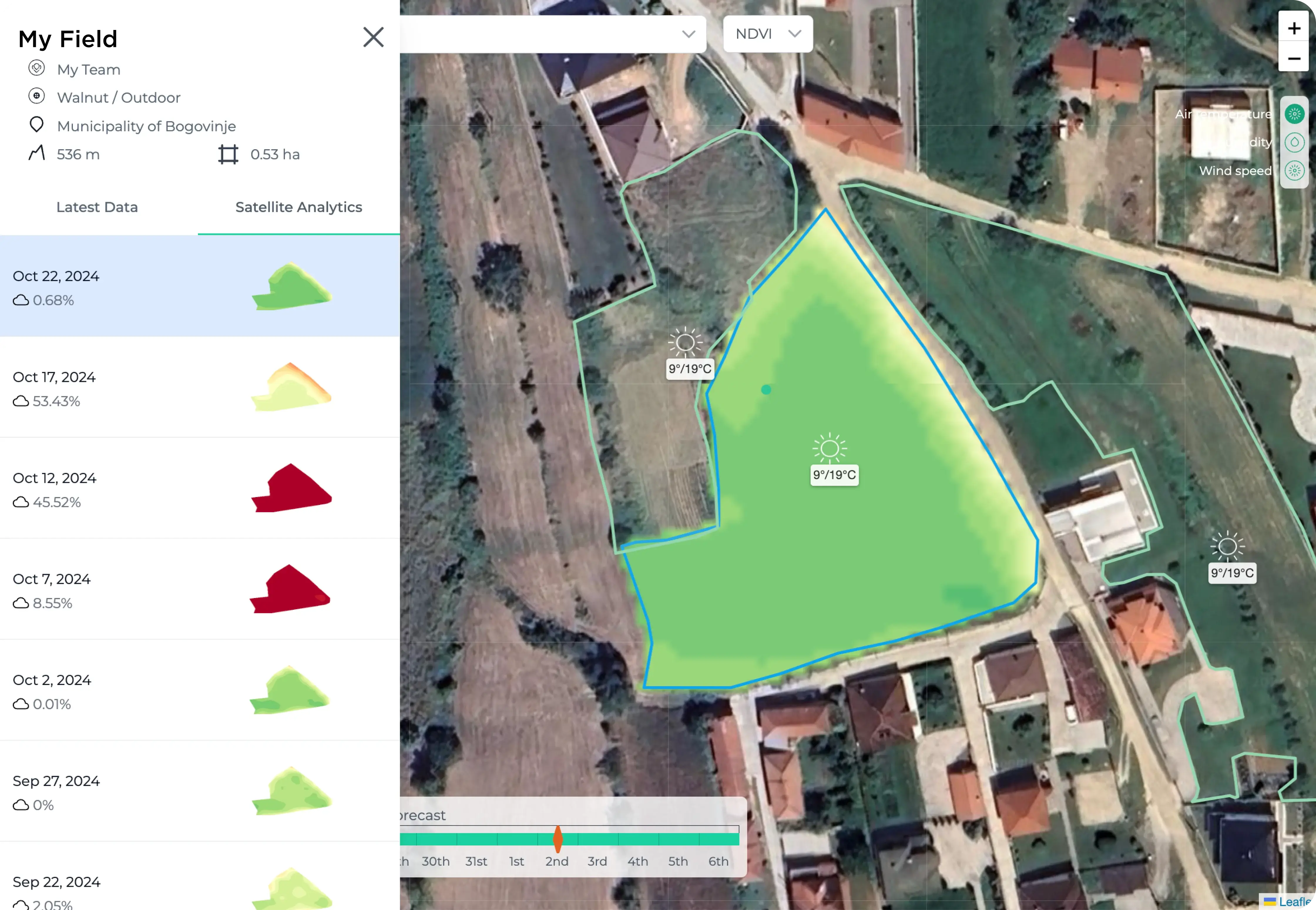
Satellite imagery technology utilizes state-of-the-art satellites that capture high-resolution images of your fields. These images are processed and analyzed to provide detailed insights into various aspects of your farm. From vegetation indices to soil moisture levels, our platform translates complex data into actionable intelligence.
field latest data report

Better Resolution, Better Insights

Resolution Options
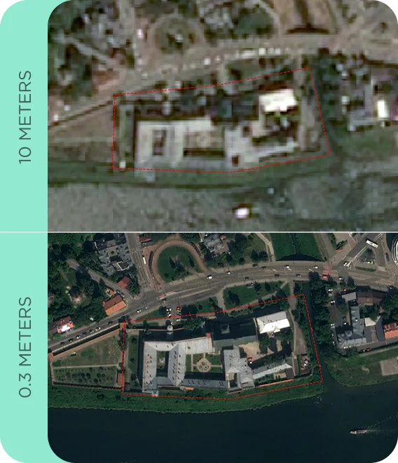
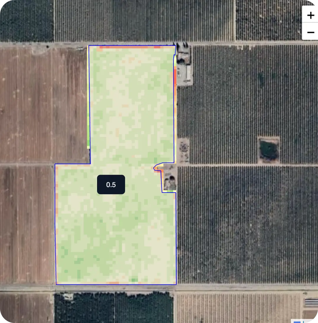
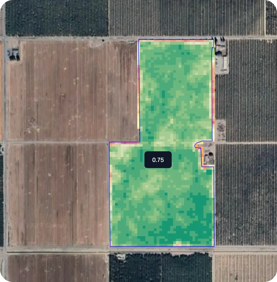
Our satellite imagery comes in different resolution levels to fit your needs—from high-resolution images for detailed analysis to lower-resolution options for broader overviews. Choose the right clarity for your farm or project.
Satellite imagery resolution comparison

Compare Day By Day

Satellite monitoring allows you to compare key vegetation indices like NDVI over different time periods. Visualize crop health trends, detect problem areas early, and optimize field management with real-time insights.
Map 1
1st March 2023
Map 2
11th March 2025
Hand-in-Hand Illustration

Hand-in-Hand

Satellite imagery technology works hand-in-hand with our soil analysis, climate, and crop management tools. Together, these solutions provide a holistic approach to farm management, ensuring you have all the information you need to succeed.

Elevation

A New Perspective in Agriculture

Elevation data offers a detailed view of your field’s topography, revealing which areas are higher or lower. Unlike other data, elevation is measured once and remains stable over time.
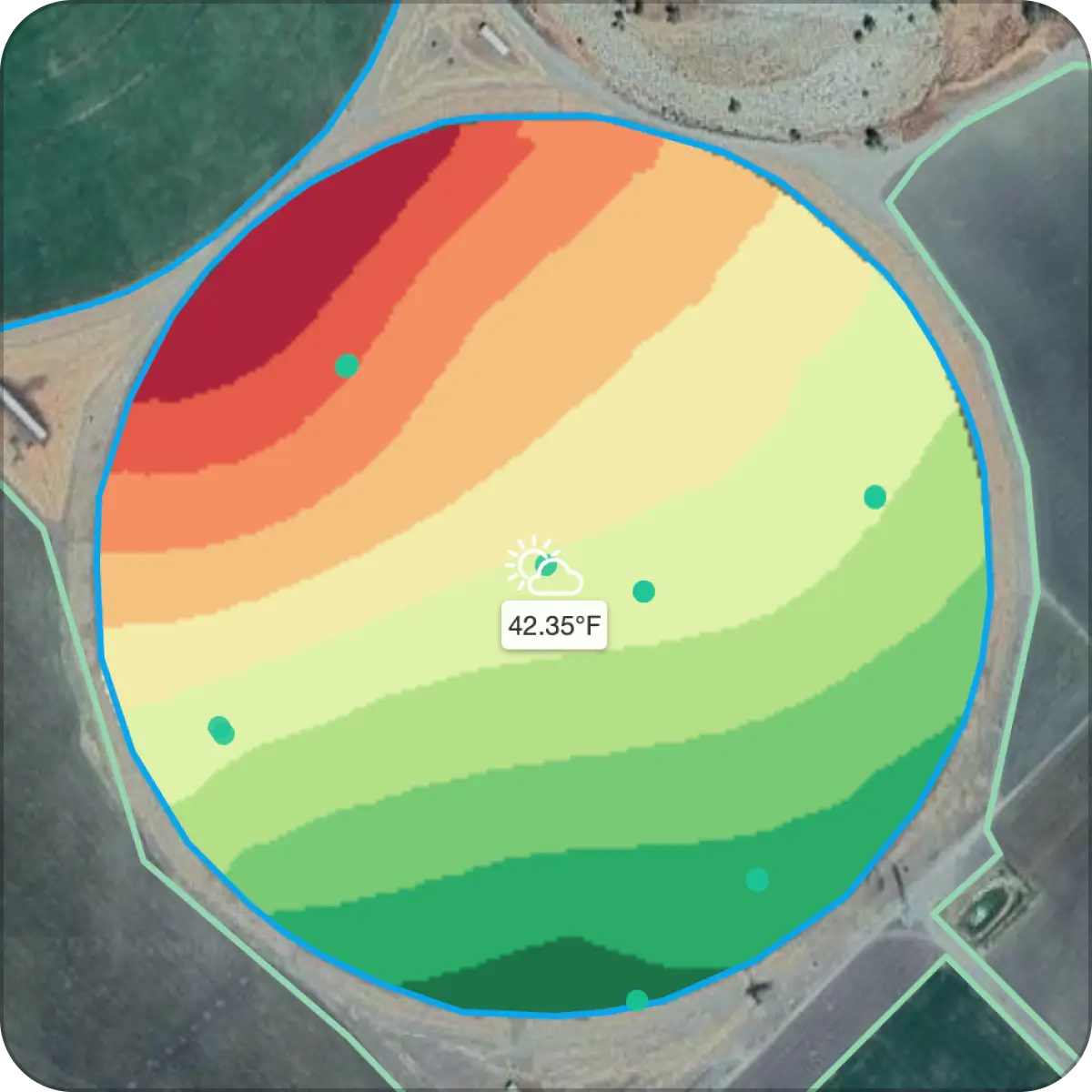
Elevation: A New Perspective in Agriculture

Resolution

10x10 meters

Capture precise details of your fields, with data segmented into 10x10 meter grids thanks to Sentinel 2.

Resolution: 10x10 meters

NDVI

Monitor Plant Health Every 5-7 Days

With access to historical NDVI values and images from different dates, you can monitor your fields’ health and productivity trends over time.
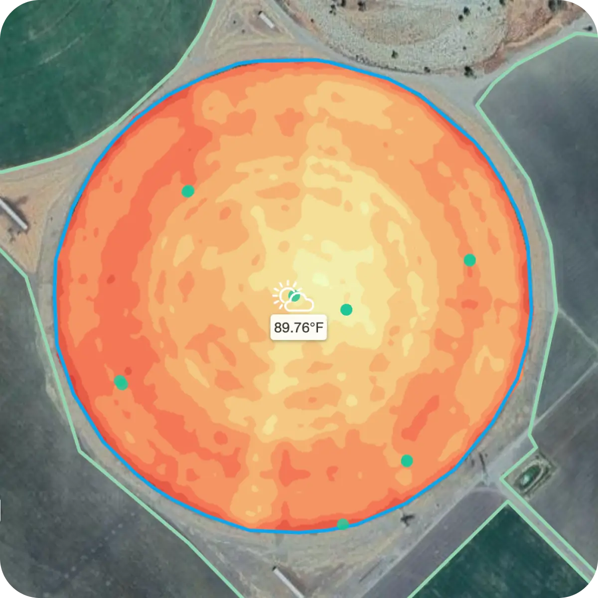
NDVI: Monitor Plant Health Every 5-7 Days

Frequency

Every 5-7 Days

Up-to-date data every 5-7 days, allowing you to monitor crop health, growth, and changes in near real-time.

Frequency: Every 5-7 Days
Need more help

Need More Help?

Our team is here to assist you with any additional questions. Reach out to us for further support.

Sunnyvale, CA

1285 Oakmead Pkwy

Sunnyvale, CA 94085

Salinas, CA

WGA 150 Main St #130

Salinas, CA 93901

[email protected]