From Satellite Data to Land Intelligence
Satellite imagery detects change. Agrotics turns it into decisions — based on real conditions and past outcomes.
From Satellite Signals to Field-Level Decisions
Satellite imagery reveals changes across your orchard.
Agrotics turns those signals into clear actions — based on current conditions and what has worked before.
Instead of raw images and indices, you get decisions at the block level, where they actually matter.
- Detect changes before they impact yield
- Understand variation across blocks, not averages
- Turn satellite signals into actionable decisions
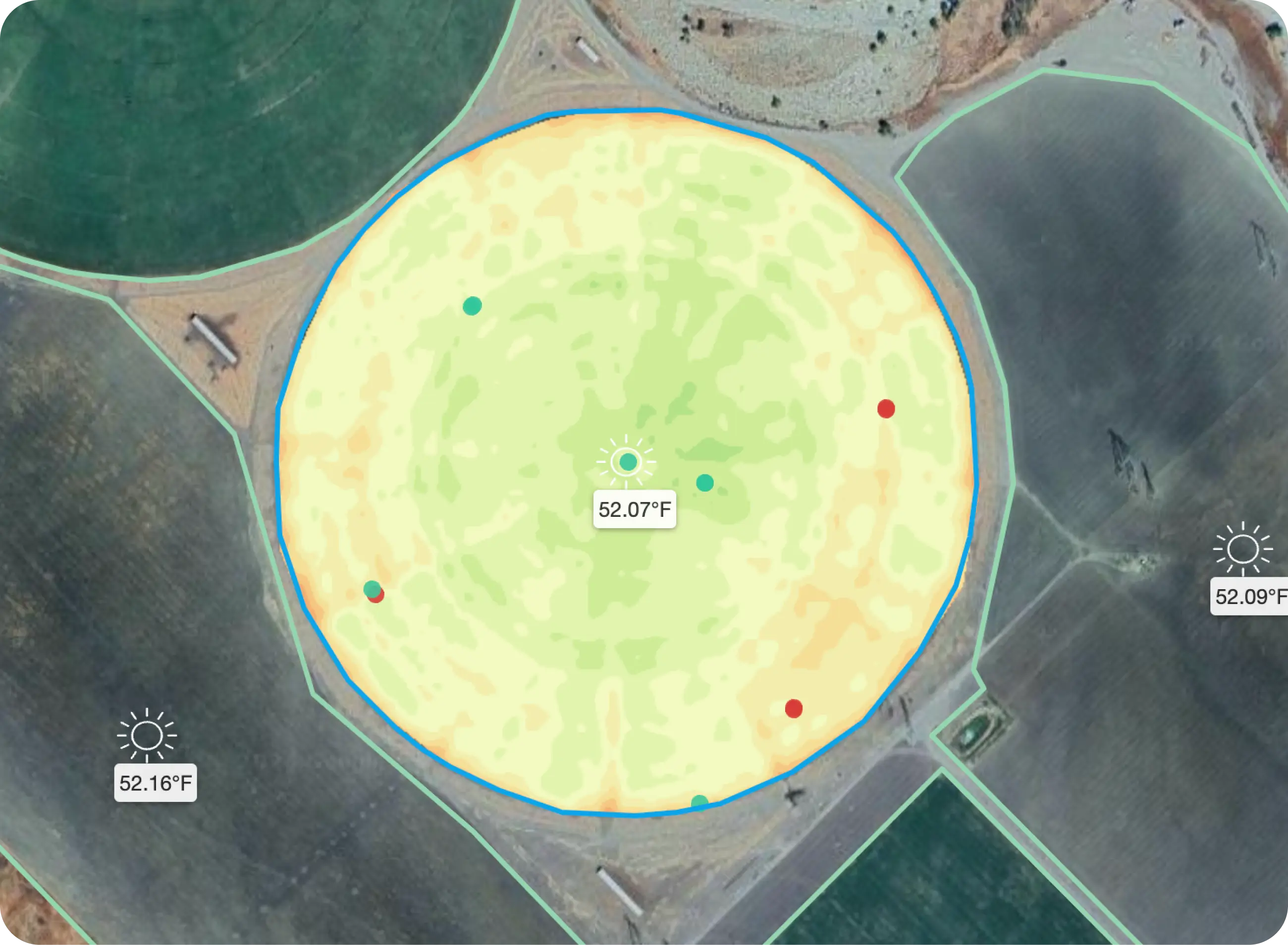
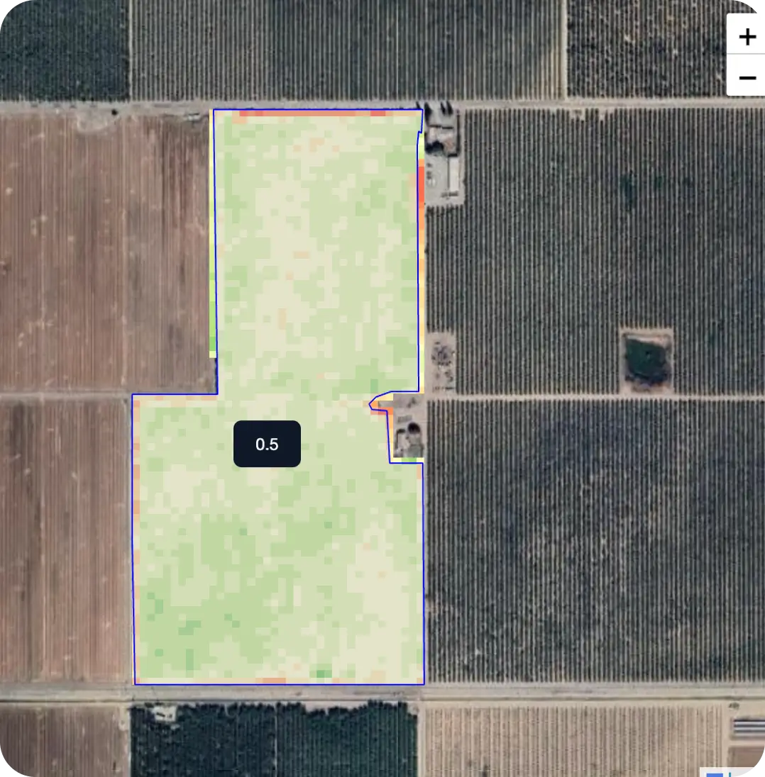
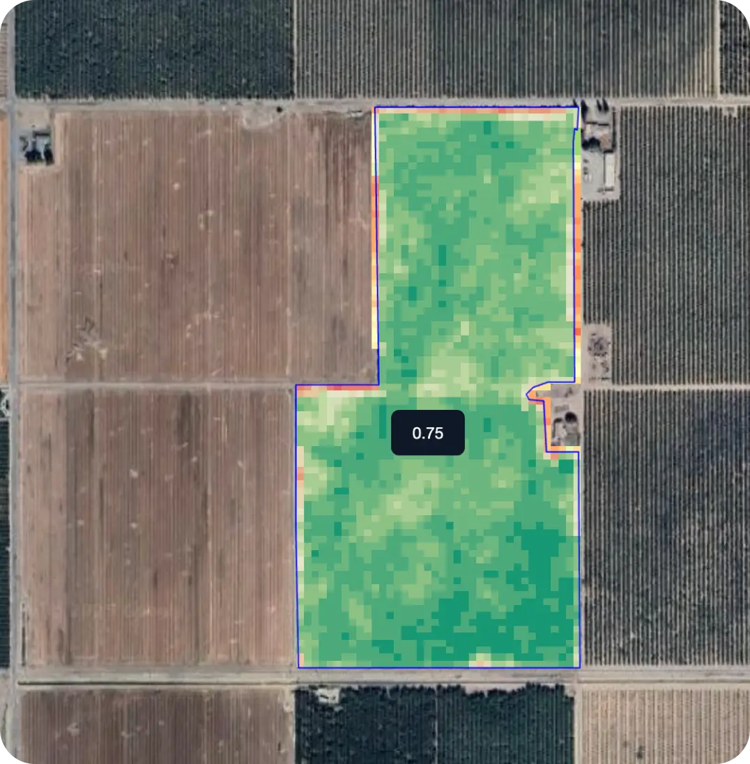
Not All Resolution Leads to Better Decisions
Different satellite resolutions show different levels of detail. But what matters is not the image — it's what you can decide from it. Agrotics processes multiple resolutions and translates them into block-level decisions — where actions actually happen.
- See variation within blocks, not just across fields
- Detect issues earlier, before they spread
- Turn visual differences into actionable decisions
Understand What Changed — and Why
Compare conditions across days, weeks, and seasons. Agrotics shows how your orchard is evolving — what changed, where it changed, and how it impacts outcomes. Instead of raw indices, you see patterns, trends, and signals that lead to action.
- Identify emerging issues before they spread
- Track how conditions impact performance over time
- Turn changes into decisions, not just observations
Ready to see your fields
from space?
Start monitoring your orchards with satellite imagery.